The Fort Peck Assiniboine & Sioux Indian Reservation (Fort Peck Tribes) covers approximately 2,093,318 acres of rolling prairie land in northeastern Montana. The major portion of the reservation lies within the boundaries of Roosevelt County, with smaller segments in Daniels, Valley, and Sheridan counties. Rivers form natural boundaries on three sides of the reservation, with the Missouri as the southern border, Big Muddy Creek to the east, and Porcupine Creek to the West. The northern boundary runs parallel to, and 25 miles south of, the Montana-Canada border.
The reservation environment is typical of the unique beauty found in the short-grass prairies of the Northern Great Plains region. The fertile bottom land along the Missouri River allows for excellent irrigated farming while the timbered main watercourse provides shelter for livestock and wildlife during diverse weather conditions. The natural “breaks” areas along the Missouri River, with rugged, sandstone cliffs rising above the water, offer scenic testimony to the power of this mighty river.
The valleys of the Poplar River and Big Muddy Creek are broad and flat, with occasional rolling and broken terrain. Land contours rise gently to the north and west and are drained by several streams. The elevated bench lands at the edge of the valleys generally have steep slopes but are relatively level on top and suitable for farming. The isolated badland areas scattered throughout the reservation provide marginal rangeland. Elevations throughout the reservation vary from 1,900 to 3,100 feet.
The remoteness of the Fort Peck Assiniboine & Sioux Reservation has so far protected the natural environmental and rural lifestyle of its people. Careful planning and foresight will ensure the maintenance of this valuable heritage for the generations to come.
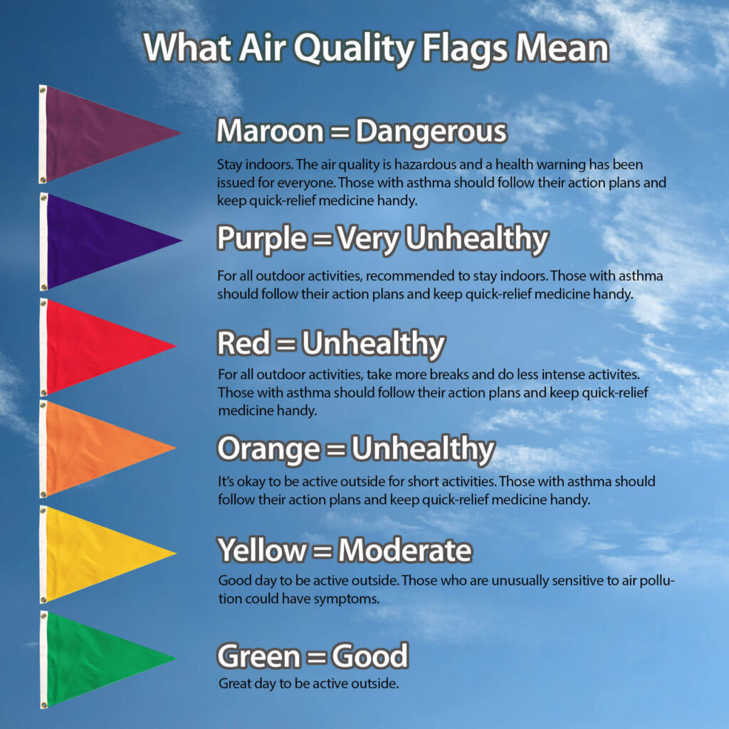
The quality of the air in a given area has an important bearing on the health of the local residents. Excessively high levels of particulates and sulfur dioxides have been associated with increased respiratory ailments and are known to aggravate existing respiratory conditions. Therefore, the tribes were redesignated into a Class I airshed in 1982. The Fort Peck Tribes received first funding from the Environmental Protection Agency for the ambient air monitoring station near the northern boundary of the reservation in 1980, known as the Poplar River Monitoring Program, which operated until 1990, the site was moved to a new location called the Law & Order site in 1991, until visibility monitoring discontinued in 1984 and meteorology discontinued in 1996.
Fort Peck Tribes, Office of Environmental Protection-Air Quality, began and continue to operate the National Atmospheric Deposition Program (NADP), acid rain network from 1982 to present.
Fort Peck initiated particulate monitoring in 1982. Sites were located several different places since the beginning date, starting with Total Suspended Particulate (TSP) and advancing to PM10 which ended in 1999.
In addition, the National Oceanic and Atmospheric Administration and the Fort Peck Tribes have set up a long-term surface radiation (SURFRAD) monitoring site on the Reservation. This program began 1995 and will continue for at least 25 years. Also, in 1997, Colorado State University in conjunction with USDA initiated the Ultra Violet B radiation monitoring site. Both sites are maintained routinely and checked weekly of operation status by the Fort Peck Tribes OEP.
In February, 2001, the U.S. Environmental Protection Agency Region VIII and the Fort Peck Tribes expressed the intent to establish a new Interagency Monitoring of Protected Visual Environment (IMPROVE) protocol site on the Fort Peck Reservation. The particulate matter site is intended for long-term monitoring with sampling has begun in 2002. Modules operating are PM10 and PM2.5 and baseline visibility.
Also, the Fort Peck Tribes are developing a minor source program to monitor small emission sources on the reservation. This program will also assist the Tribes with increment tracking under the Prevention of Significant Deterioration (PSD) program. Tribal staff are also using the Tribal Emissions Inventory Software Solution (TEISS) software to update emission inventory on the reservation for better management of the Tribes Class I airshed.

Linda Reddoor
Environmental Specialist 1/ Air Quality
lweeks@fortpecktribes.net
406.768.2337
