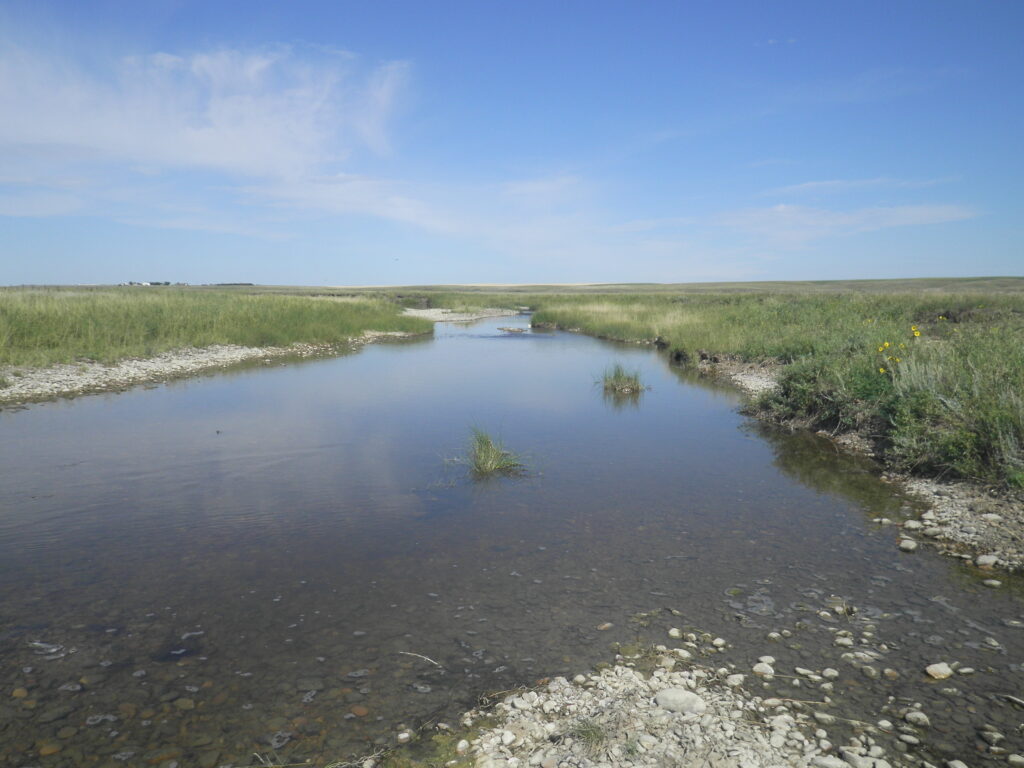
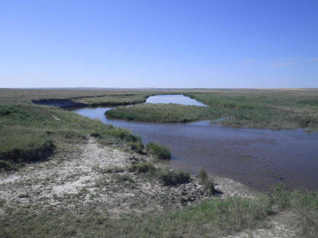
The Fort Peck Tribes are recipients of the Section 106 Grant of the Clean Water Act. Through this grant, the Fort Peck Tribes are establishing baseline monitoring information on surface and ground water and assessing pollution impacts from non-point and point sources of pollution through intensive Watershed Monitoring. The long-range goal was originally to establish water quality standards on reservation waters, now that the water quality standards have been established the goal is to evaluate data to determine use attainability for designated uses, and to determine impairments to water bodies based on existing standards using anti-degradation reviews. The Fort Peck Indian Reservation lies in northeastern Montana and consists of portions of Roosevelt, Valley, Daniels and Sheridan counties. The 2,093,300-acre reservation is within the Upper Missouri River Basin. A variety of crops, are grown on the Fort Peck Indian Reservation and include primarily wheat and other small grains as well as beans, grasses, and corn. Dryland farming is predominant throughout the northern two-thirds of the reservation. Flood irrigation is more common throughout the southern third of the reservation, mostly within the Missouri River Valley.
Drainages traversing the Reservation include the Big Muddy Creek, the Poplar River, Smoke Creek, Wolf Creek, the Little Porcupine Creek, the Big Porcupine Creek and Tule Creek. Selection of monitoring sites on these drainages was based on previous study sites, accessibility, and nonpoint source discharges. Although these drainages are not used as drinking water sources, they are important to fish, wildlife, recreational, cultural, and agricultural activities on the reservation.
The type of sample information collected includes, but is not limited to:
- Water depth and depth of sample location
- Dissolved oxygen concentration to determine the amount of oxygen available for aquatic life
- Temperature to determine the suitability of habitat for aquatic life
- Alkalinity and pH to determine the suitability of habitat for aquatic life
- Bacteria and viruses to evaluate health risks associated with recreation or consumption
- Chlorophyll-a concentrations as an estimate of algal populations
- Phosphorus and nitrogen forms to measure nutrient levels
- Biological monitoring to determine the nature of plant and animal communities and their response to any changes in water quality or habitat
Sixteen baseline sites have been established and are sampled annually; as well as 6 groundwwater sites. Biological sampling will provide a more comprehensive assessment of the stream’s health. The Fort Peck Tribes have developed and are re-assessing reference streams using a modified version of the Rapid Bioassessment Protocol (RBP) ll and V. Habitat assessment is being completed using the RBP Guidance document methods and a Nonpoint Source (NPS) Stream Reach Assessment developed by the State of Montana for NPS pollution.


William Macdonald
Water Quality Environmental tech William.Macdonald@fortpecktribes.net
Andrew Azure
Environmental Technician
Andrew.azure@fortpecktribes.net
GET IN TOUCH
Contact Details
501 Medicine Bear Rd, Box 1027
Poplar, Montana 59255
Tel: 406.768.2329
Fax: 406.768.5363
